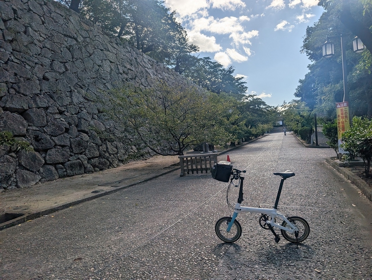
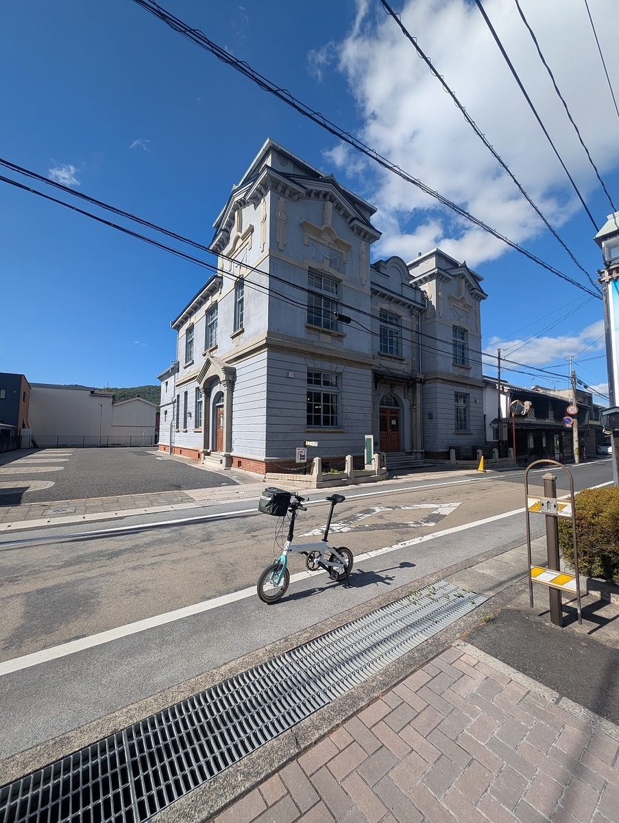
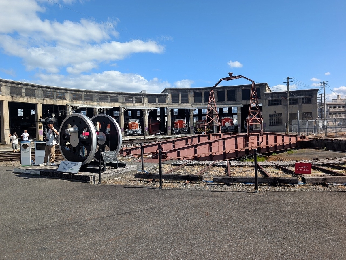
ミニベロ道中(k3・ViscEvo・Boardwalki5・KOLiBRI)

ミニベロに乗って全国にお出かけ・・・クセが強いミニベロが好き

DAHON ViscEvo 【サイクリング】金沢から千里浜経由富山行き DAHON ViscEvo [Cycling] From Kanazawa to Toyama via Chirihama

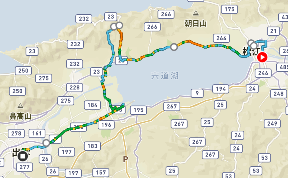
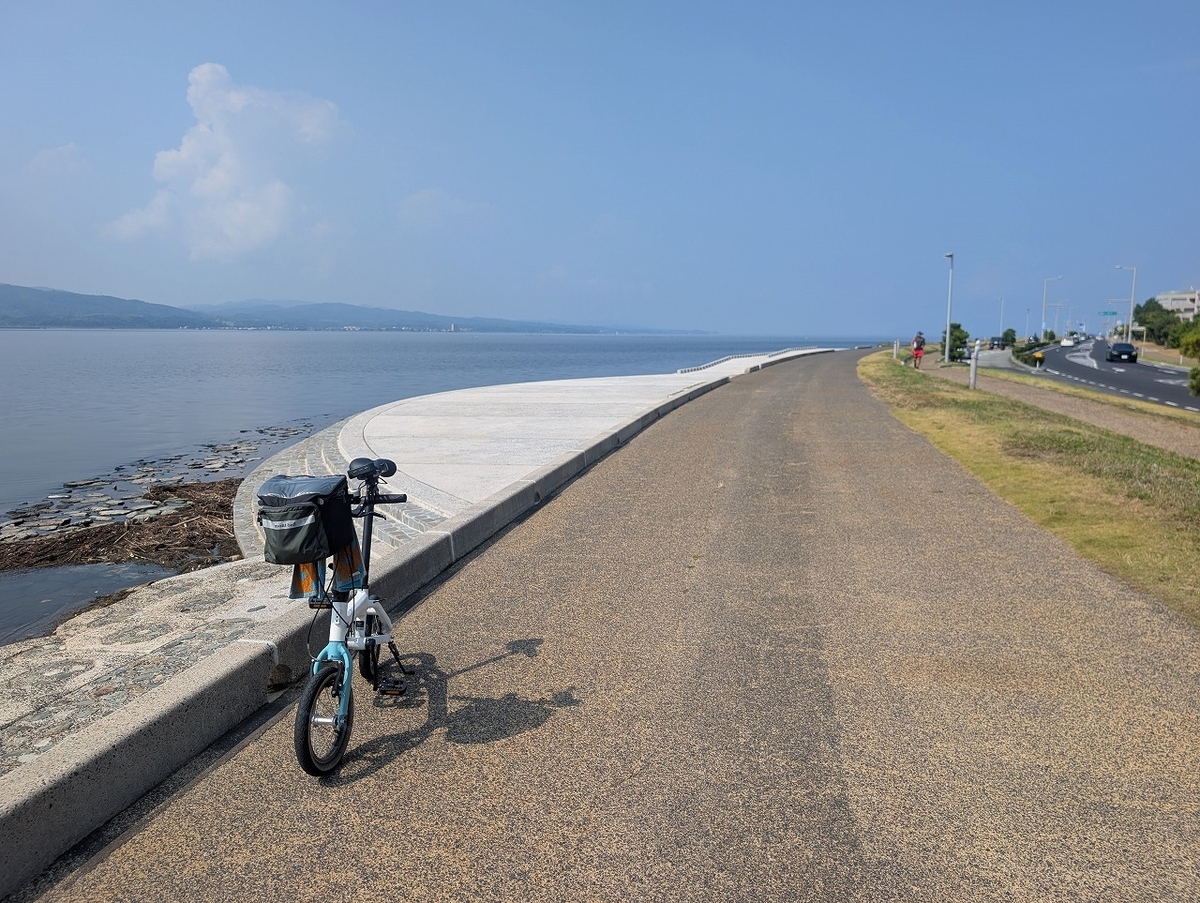
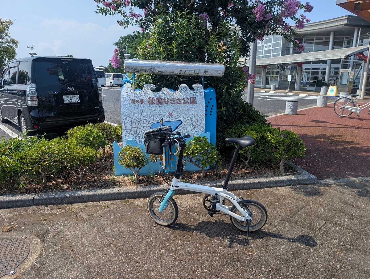
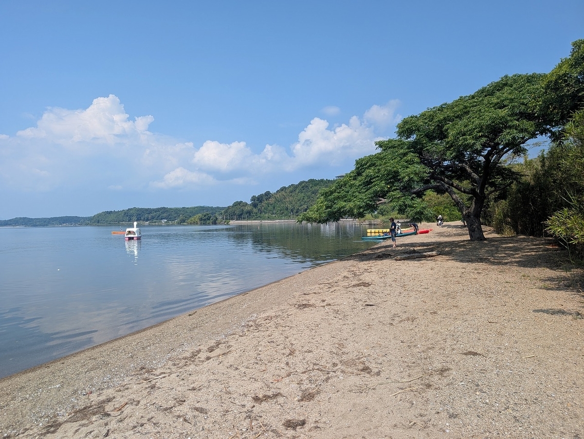
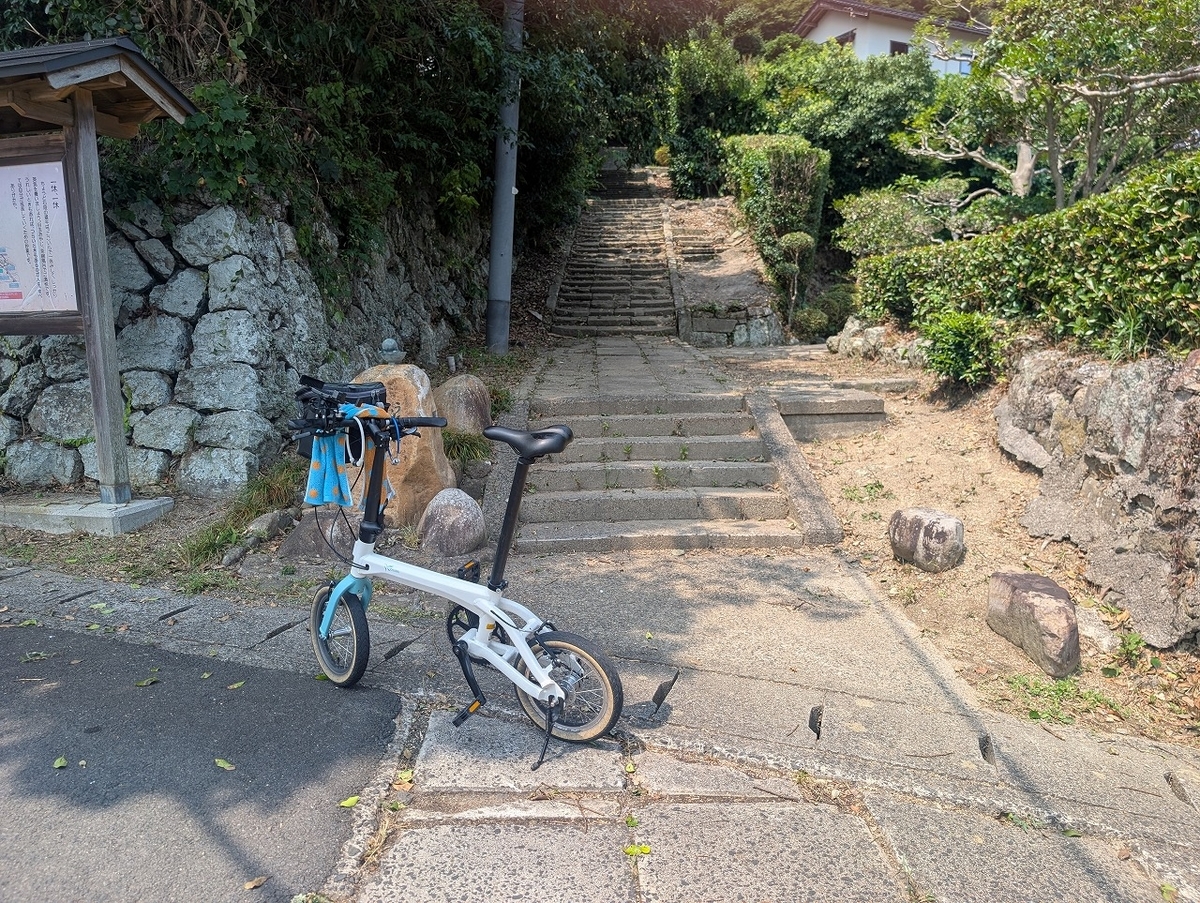
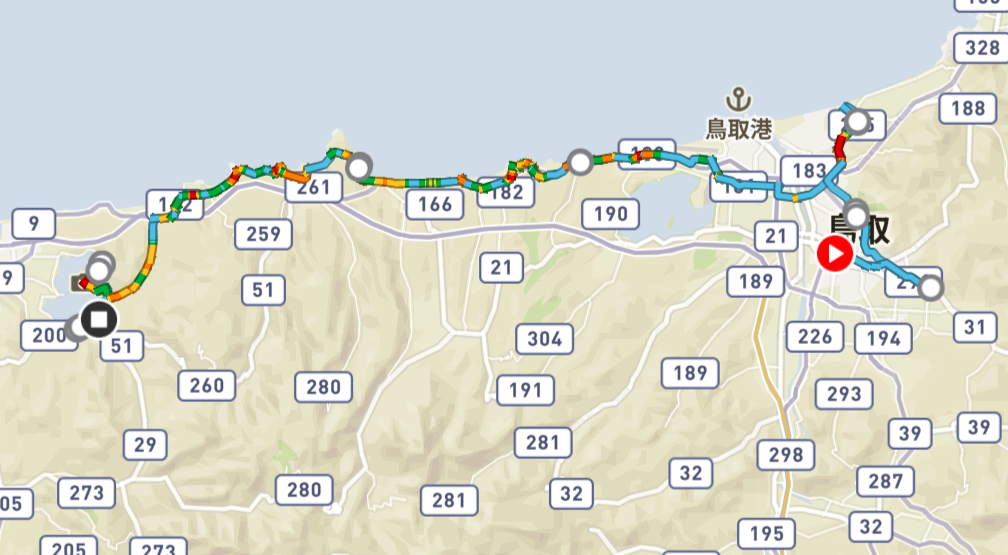
前日の富山から金沢と逆ルートで、金沢から富山に戻ります。金沢市内から、内灘方面に向かい、のと里山サイクリングロードに入ります。自動車専用道路ののと里山道路に沿って走る感じになります。途中、千里浜なぎさドライブウェイに入り、砂浜の上を走ります。スリックタイヤで砂浜を走るという不思議な体験をしました。

自動車道に戻り、時間があれば気多大社に寄りたかったのですが、行ったことがありパスしました。国道415号線に入り、氷見方面へ能登半島を横断します。氷見市内を少しポタリングした後、高岡市に入り雨晴海岸に寄りました。射水市にはいり、海王丸公園により、新港大橋はエレベーターで昇り、押してわたりました。その後、富山駅まで走り、終了です。およそ115㎞と長い道のりでした。

I retraced the route from the previous day in reverse, traveling from Kanazawa back to Toyama. Starting from Kanazawa city, I headed toward Uchinada and joined the Noto Satoyama Cycling Road, which runs alongside the Noto Satoyama Expressway (a road restricted to motor vehicles). Along the way, I turned onto the Chirihama Nagisa Driveway and rode across the sandy beach—a unique experience riding on sand with slick tires.

I returned to the roadway; although I would have liked to stop at Keta Taisha Shrine if time permitted, I had visited it before, so I decided to skip it. I then took National Route 415, crossing the Noto Peninsula toward Himi. After a leisurely ride through Himi, I entered Takaoka and stopped at Amaharashi Coast. Moving into Imizu, I visited Kaiwomaru Park and crossed the Shinko Ohashi Bridge—taking the elevator up and walking my bike across. Finally, I rode to Toyama Station to conclude the trip, covering a long distance of approximately 115 km.

金沢市は、見所満載の観光地ですが、ほとんどポタリングもせず出発。北陸鉄道沿いに、内灘町を目指します。内灘町はサイクリングの拠点でもあり、多くのサイクリストが訪れます。わかりやすい標識に沿って、のと里山サイクリングロードを進みます。

Kanazawa is a tourist destination packed with attractions, yet I set off without doing much casual cycling within the city itself. I headed toward Uchinada Town, following the Hokuriku Railroad line. Uchinada is a hub for cycling that draws many riders. I made my way along the Noto Satoyama Cycling Road, guided by clear, easy-to-follow signage.

のと里山サイクリングロードは、ほとんど、自動車専用道路であるのと里山ハイウェイ沿いに走ります。高速道路沿いに走るという不思議な感覚がありました。快適すぎて、千里浜なぎさドライブウェイの乗り口をうっかりオーバーランしました。

The Noto Satoyama Cycling Road runs mostly alongside the Noto Satoyama Highway, a road reserved for motor vehicles. It was a strange sensation to be cycling right next to a highway. The ride was so comfortable that I accidentally overshot the entrance to the Chirihama Nagisa Driveway.

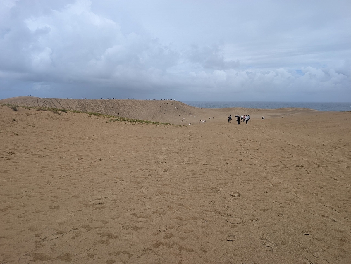
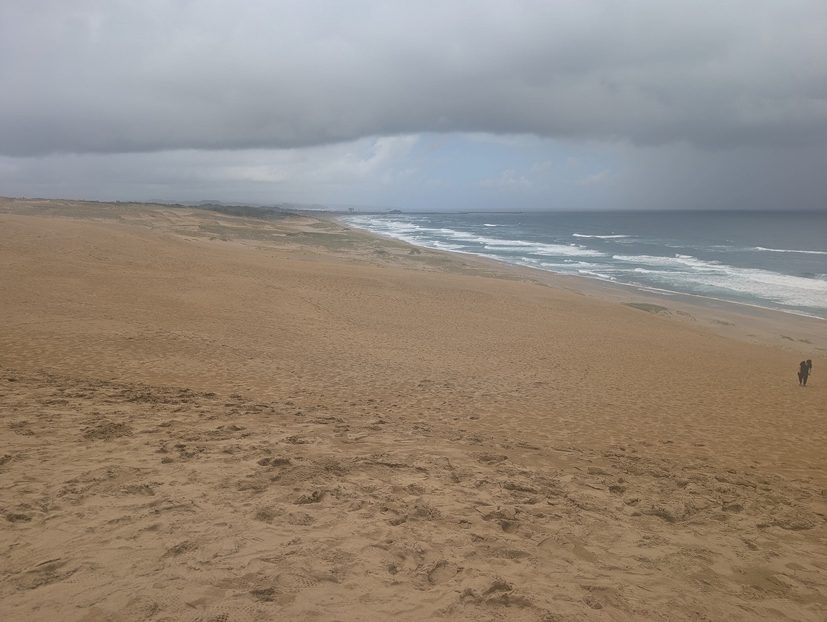
千里浜なぎさドライブウェイは、砂浜を車が走るという珍しい場所です。自転車でも走れます。

The Chirihama Nagisa Driveway is a rare spot where cars can drive along the sandy beach. You can also ride a bicycle there.

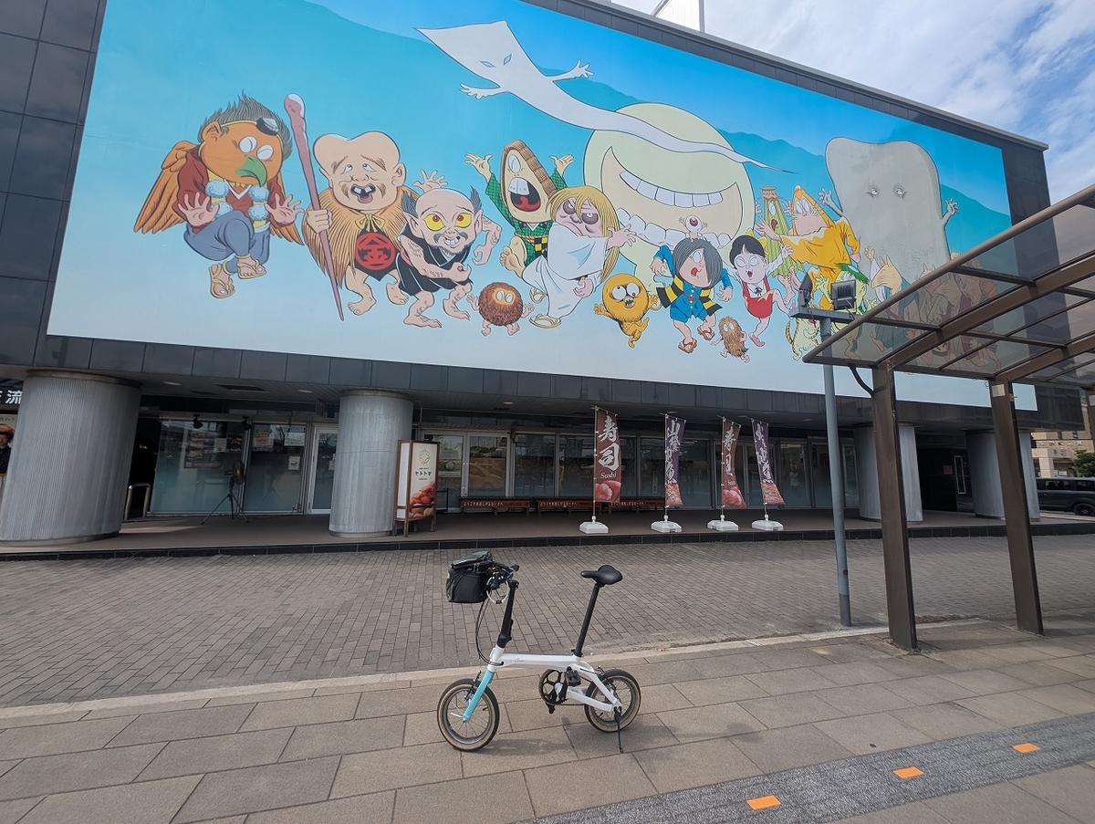
氷見市にはいり、少しだけポタリング。藤子不二雄マルエーの生まれた町であり、アニメでの町おこしと寒ブリが有名です。

I entered Himi City and went for a leisurely bike ride. It is the hometown of Fujiko Fujio (the manga artist duo), and is famous for using anime to revitalize the town, as well as for its *kanburi* (winter yellowtail).

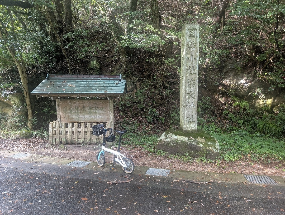
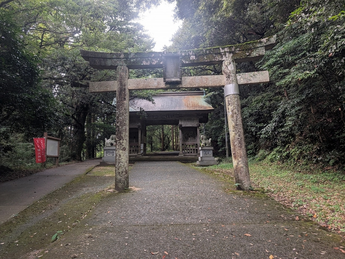
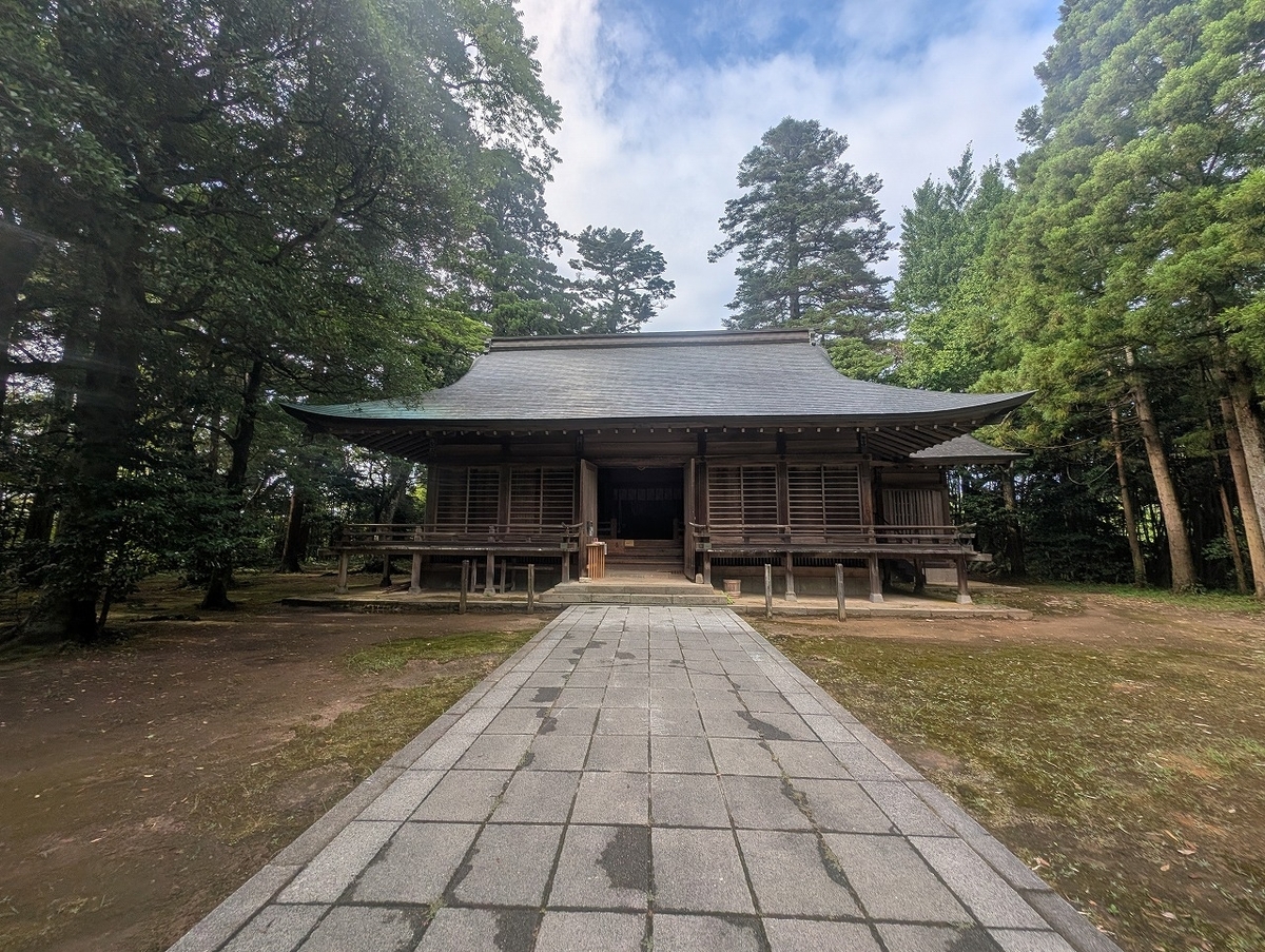
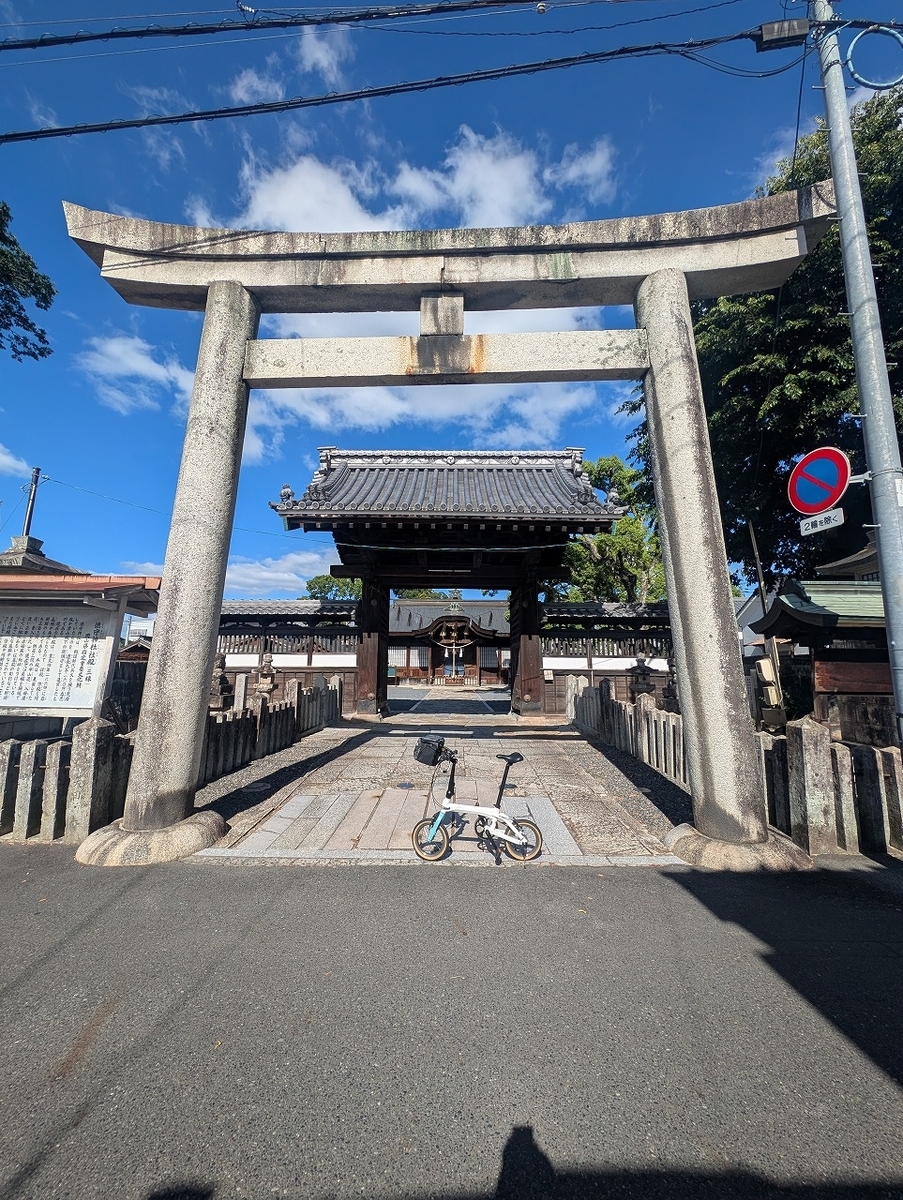
高岡市にはいり、雨晴海岸と伏木神社にだけ寄りました。高岡市街はまた今度です。

I entered Takaoka City and stopped only at Amaharashi Coast and Fushiki Shrine. I'll visit the city center another time.

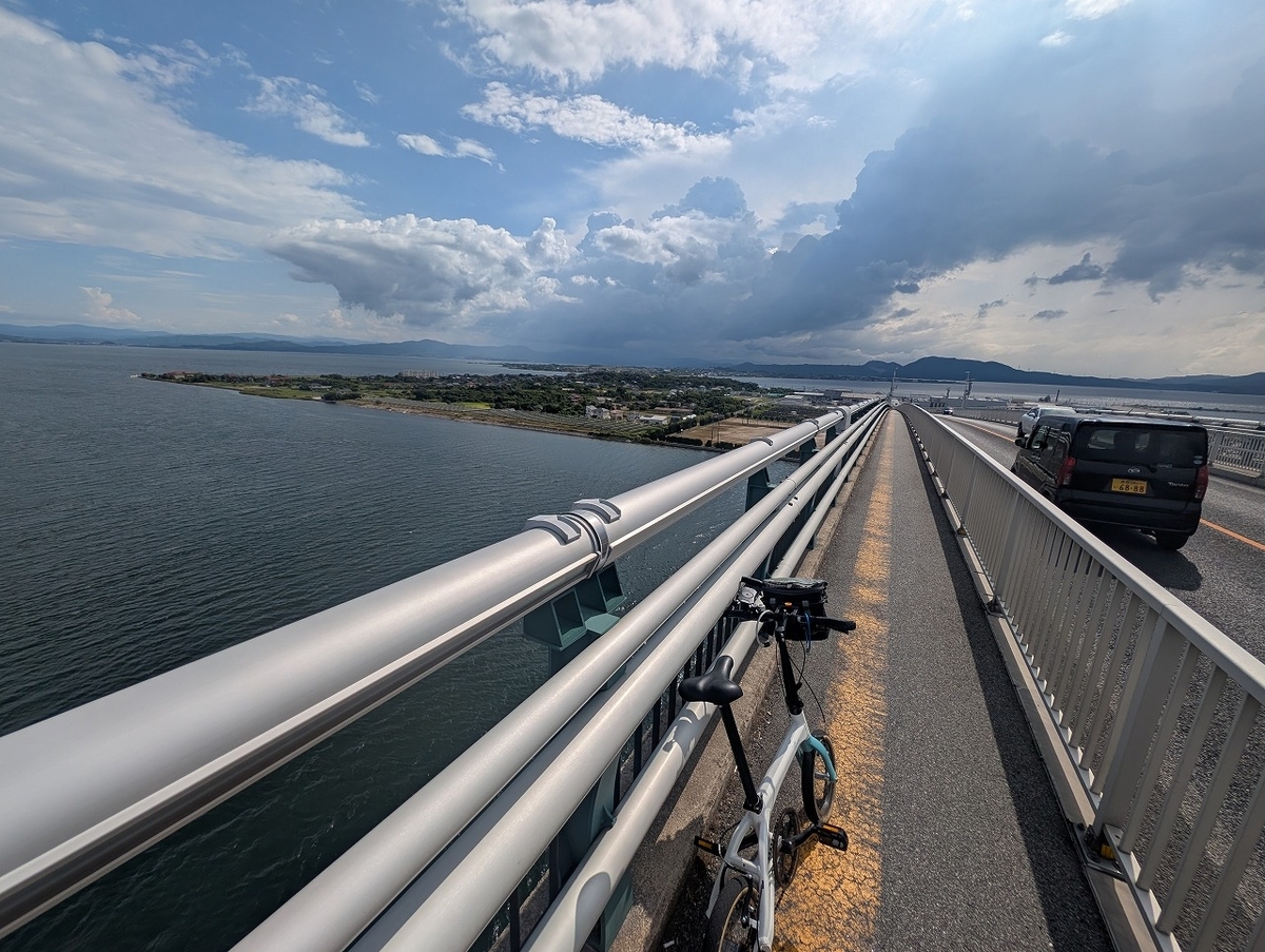
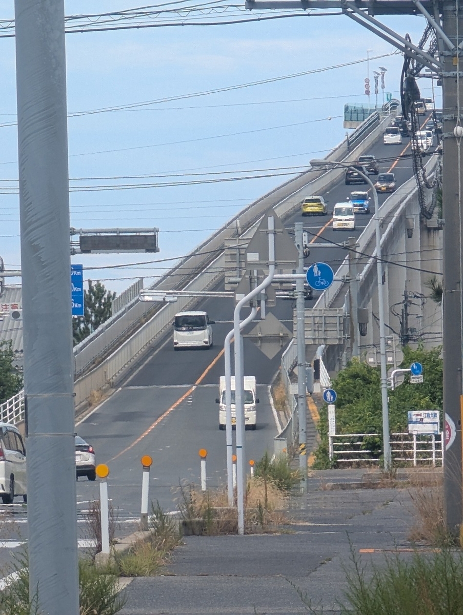
射水市に入り、海王丸パークに寄りました。また、万葉線の終点である、越の潟駅に寄りました。渡船もありましたが、新湊大橋を渡り、対岸へ。そこから、富山駅まで走りました。

After entering Imizu City, I stopped at Kaiwomaru Park. I also visited Koshinokata Station, the terminus of the Manyo Line. Although a ferry service was available, I crossed the Shinminato Bridge to the opposite shore and then drove to Toyama Station.

インスタもよろしくお願いします Please check out my Instagram as well.


DAHON ViscEvo 【サイクリング】富山から南砺経由金沢行き DAHON ViscEvo [Cycling] From Toyama to Kanazawa via Nanto

富山から金沢。新幹線なら20分強で着いてしまうのですが、自転車で行くとなると最短距離でも50㎞ですので、私の足ですと半日はかかります。富山、金沢間は魅力的な観光都市が多いのですが、南寄りのルートを使いました。富山市内を少し走り、射水市を通り過ぎ、砺波市、南砺市により、国道304号線を使って石川県に入ります。県境はどうしても山越えになりますが、国道の方がはるかに標高が低いので、国道304号線をお勧めします。高低差660m、距離約100㎞のロングライドになりました。

Traveling from Toyama to Kanazawa takes just over 20 minutes by Shinkansen, but cycling the shortest route covers 50 km—a journey that takes me half a day. While there are many attractive tourist destinations between the two cities, I chose a route that veered toward the south. After riding briefly through Toyama City and passing through Imizu City, I visited Tonami City and Nanto City before entering Ishikawa Prefecture via National Route 304. Crossing the prefectural border inevitably involves traversing mountains, but I recommend Route 304 because it stays at a much lower elevation than other options. It turned out to be a long ride, covering a distance of approximately 100 km with an elevation gain of 660 meters.

まずは、富山市を少しサイクリング。富岩運河環水公園にはるスターバックスは、世界で最も美しいといわれるスターバックスです。富岩運河環水公園を少し散策したら、射水市に向けて出発です。

First, I’ll go for a short bike ride around Toyama City. The Starbucks located in Fugan Canal Kansui Park is said to be the most beautiful Starbucks in the world. After taking a stroll through the park, I’ll set off for Imizu City.

射水市の櫛田神社、さらに砺波市に入り、増山城址、砺波チューリップ公園に立ち寄ります。

We will visit Kushida Shrine in Imizu City, then head into Tonami City to stop by the Masuyama Castle Ruins and Tonami Tulip Park.

南砺市に入り、越中の国一宮である高瀬神社にお参りをし、井波、城端市内を散策です。

After entering Nanto City, I visited Takase Shrine—the *Ichinomiya* (highest-ranking shrine) of Ecchu Province—and took a stroll through the town of Inami and Johana.

福光方面に北上した後、国道304号線を使い石川県に入ります。

After heading north toward Fukumitsu, you will enter Ishikawa Prefecture via National Route 304.


インスタもよろしく Check out my Instagram, too.


DAHON Boardwalk 【サイクリング】水郷の里めぐりと霞ヶ浦西岸 DAHON Boardwalk [Cycling] Touring the Waterside Villages and the Western Shore of Lake Kasumigaura

Boardwalk i5での初輪行。DAHONのSlipbagのLサイズ(Viscevoは入ります)では、カゴがあるため入りませんでした。ギザプロダクツの輪行袋が一回り大きく、値段も手ごろだったので、買いなおしです。固定ベルトがないので、運ぶのは少々難がありますが、何とかなりました。

さて、今回の輪行ですが佐原駅をスタートし、佐原の町並みを少し走ったと、水郷佐原あやめパーク、水郷潮来あやめ園により、霞ヶ浦西岸を走り、土浦駅まで走るだけの60㎞です。

This was my first time taking the Boardwalk i5 on a train trip. It didn't fit in the size L DAHON Slipbag (which does accommodate the Viscevo) because of the basket. I ended up buying a replacement bag from GIZA Products, as it was slightly larger and reasonably priced. Although it lacked securing straps—making transport a bit tricky—I managed to make it work.

As for the ride itself, it was a 60 km route starting at Sawara Station. After cycling briefly through the streets of Sawara, I visited Suigo Sawara Ayame Park and Suigo Itako Ayame Garden, then rode along the western shore of Lake Kasumigaura to finish at Tsuchiura Station.

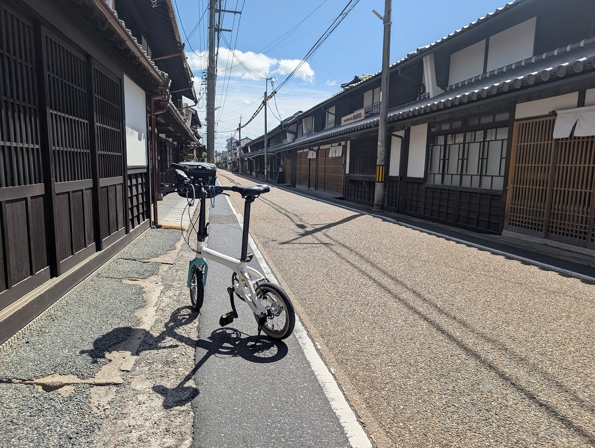
まずは、佐原の町です。千葉の小江戸ととして有名な場所で、観光客も多いです。

First up is the town of Sawara. Known as the "Little Edo" of Chiba, it is a popular destination that attracts many tourists.

水郷佐原あやめパークまでは、30分弱程度で到着します。

It takes just under 30 minutes to reach Suigo Sawara Ayame Park.

さらに、水郷潮来あやめ園までは’20分程度。

Furthermore, it takes about 20 minutes to reach Suigo Itako Iris Garden.

霞ヶ浦のサイクリングロードに入り、土浦を目指します。走りとしては、平凡です。
プラスチックのチェーンカバーが輪行の時ズレたのか。少し触ったのが気になりました。帰って、修理です。

60㎞と中距離を走りましたが、高低差がなければかなり快適でした。

Boardwalk i5は内装ギア式で、カゴもつけて重量もありますが、登坂がなければ楽しい自転車です。なんといっても、乗り心地がいいです。D7でも同じことがいえるのか、気になりすね。

I got onto the cycling path at Lake Kasumigaura, heading toward Tsuchiura. The ride itself was nothing out of the ordinary.
The plastic chain cover seemed to have shifted—perhaps during transport (bagging the bike for travel)—and I was concerned about it after touching it slightly. I’ll have to fix it when I get home.

I covered a moderate distance of 60 km; it was a very comfortable ride, thanks to the lack of significant elevation changes.

The Boardwalk i5 features internal gears and is on the heavier side—especially with the basket attached—but it’s a fun bike to ride as long as there are no steep climbs. Above all, the ride quality is excellent. It makes me wonder if the D7 offers the same experience.

インスタもよろしくお願いしますPlease check out my Instagram as well.


k3・ViscEvo・Boardwalki5・KOLiBRIを比較する

現在のところの比較表です。

KOLiBRI号、Boardwalk i5号でも輪行してみてでの感想です。

KOLiBRI号が意外と走って驚き。

車種  DAHON K3  DAHON ViscEvo  DAHON Boardwalk i5  Pacificcycles KOLiBRI
サイズ  14インチ(ETRTO254)  20インチ(ETRTO451)  20インチ(ETRTO406)  14インチ(ETRTO254) 
カタログ重量  7.8kg  10.9kg  12.7kg(オプション+1.6)  9.6kg
変速  外装3段  外装10段  内装5段  内装3段
フロント2段   
フレーム  アルミ  アルミ  クロモリ  アルミ
GD値(最小) 3.18 2.41 3.26 2.74
GD値(最大) 6.01 7.44 6.72 5.11
平坦地走行性能(K3=100)  100  130  90  80
登坂性能(K3=100)  100  150  80  130
走行安定性(K3=100)  100  120  130  110
利用目的  輪行  ヒルクライム、ロングライド  日常使い  日常使い
良い点  軽い・小さい。  よく走る。よく登る。  泥除けつき、チェーンカバー付き、バスケット付き。停止時に変速可能。  見た目がスタイリッシュ。タイヤが太く安定している。K3と比較するとハンドルをとられない。
悪い点  消耗が激しい。修理が多い。段差に弱い。1速が重く坂道はきつい。  折りたたみサイズが大きい。  重量が重い。1速が重く坂に弱い。重量が重く、加速しない。スピードも保つには脚力がいる。  折りたたみはできないので、輪行するには大きくなる。
高速のギアがないので、スピードを維持するのが大変。
個人的な感想  見た目がスタイリッシュで、踏み込んだ時のレスポンスが好き。  全体的に優秀だが、尖ったポイントがない。  クロモリフレームと太いタイヤで乗り心地が良い。服装は気にしないし、荷物を積める。  スピードにのらないが、K3より長距離が走れる感じ。ストップアンドゴーには強い。


DAHON ViscEvo 【サイクリング】柳津から古川 DAHON ViscEvo [Cycling] From Yanaizu to Furukawa

宮城県登米市にある気仙沼線柳津駅は現在終着駅になっており、これより先の気仙沼方面にはBRTが走っております。柳津駅まで輪行をし、奥州柳津虚空蔵尊と横山不動尊にお参りした後、西に向かい、崑峯寺により、ひたすら西進して古川に向かう60㎞の道のりです。崑峯寺への登りが短いながらも急登で大変でした。

Yanaizu Station on the Kesennuma Line, located in Tome City, Miyagi Prefecture, currently serves as the terminus; a Bus Rapid Transit (BRT) service operates from there toward Kesennuma. This 60-kilometer route involves traveling to Yanaizu Station with a bicycle, visiting Oshu Yanaizu Kokuzoson and Yokoyama Fudoson, heading west to stop at Konpo-ji Temple, and then continuing straight westward to Furukawa. The climb to Konpo-ji Temple was tough, as it was a steep—albeit short—ascent.

終着駅の柳津駅を出て、国道45号線を南に向かうと奥州柳津虚空蔵尊があります。会津の柳津にある福満虚空蔵尊圓藏寺と関係あるのかと思ったのですが、関係ないそうです。来た道を戻り、柳津駅を越えて旧横川駅方面へ。BRTの陸前横山駅近くにある、横山不動尊にお参りです。

After leaving the terminus at Yanaizu Station and heading south along National Route 45, you will find Oshu Yanaizu Kokuzoson. I wondered if it was connected to Fukuman Kokuzoson Enzoji in Yanaizu, Aizu, but apparently, there is no relationship. Retracing my steps past Yanaizu Station, I headed toward the former Yokokawa Station site to visit Yokoyama Fudoson, located near the BRT's Rikuzen-Yokoyama Station.

気仙沼線沿いに走り、涌谷町へ。崑峯寺の標高は200mほどですが、北側からだと結構な傾斜になります。10%の傾斜で2㎞という感じです。

南側に抜け、城山公園に寄った後は、国道108号線をひたすら西進します。古川駅から、輪行で戻りました。

I rode along the Kesennuma Line toward Wakuya Town. Konpo-ji Temple sits at an elevation of about 200 meters, but the approach from the north involves a significant incline—essentially a 2-kilometer stretch with a 10% gradient.

After passing through to the south side and stopping at Shiroyama Park, I headed straight west along National Route 108. I returned from Furukawa Station by taking my bike on the train.


インスタもよろしくお願いしますPlease check out my Instagram as well.


DAHON ViscEvo 【ヒルクライム】山形から蔵王エコーラインを越えて仙台へ DAHON ViscEvo [Hill Climb] From Yamagata to Sendai via the Zao Echo Line

山形市から仙台市に至るルートは主に3つだと思います。

一つ目はは、北に向かい国道48号線経由で向かうルート。

二つ目は旧道を使って笹谷峠を越えるルート。

三つめは、南に向かい蔵王エコーラインを抜けるルート。

国道48号線ルートは標高890mまでしか登らず、峠はトンネルで越えるので、なんだか味気ない。笹谷峠ルートは、国道286号線ではありますが、細い峠道で、車の往来も極端に少ない。標高906m。蔵王エコーラインは標高1610m。山形側だと24㎞の道のりで1,400m登るタイトなルート。距離も約100㎞とほかのルートよりも高い。

そんなわけでしたが、迷わず三つ目の蔵王エコーラインルートを選択。エコーラインもきつかったのですが、いったん降りた後、蔵王町、川崎町もアップダウンが多く、獲得標高は1979mを指しておりました。きつかったというのが正直なところ。荷物も多く、休みながらのヒルクライム。

I believe there are three main routes from Yamagata City to Sendai City.

The first is the route heading north via National Route 48.

The second is the route crossing Sasaya Pass using the old road.

The third is the route heading south and passing through the Zao Echo Line.

The Route 48 option feels a bit uninspiring, as it only climbs to an elevation of 890 meters and crosses the pass via a tunnel. The Sasaya Pass route—technically National Route 286—involves a narrow mountain road with extremely light traffic; it reaches an elevation of 906 meters. The Zao Echo Line reaches 1,610 meters; the ascent from the Yamagata side is a grueling route that climbs 1,400 meters over a distance of 24 kilometers, and the total distance is around 100 kilometers—longer than the other options.

Despite this, I chose the third option—the Zao Echo Line route—without hesitation. The Echo Line itself was tough, but even after the descent, the ride through the towns of Zao and Kawasaki involved frequent ups and downs, bringing my total elevation gain to 1,979 meters. To be honest, it was a grueling ride. I was carrying a heavy load, so I had to take breaks during the climbs.

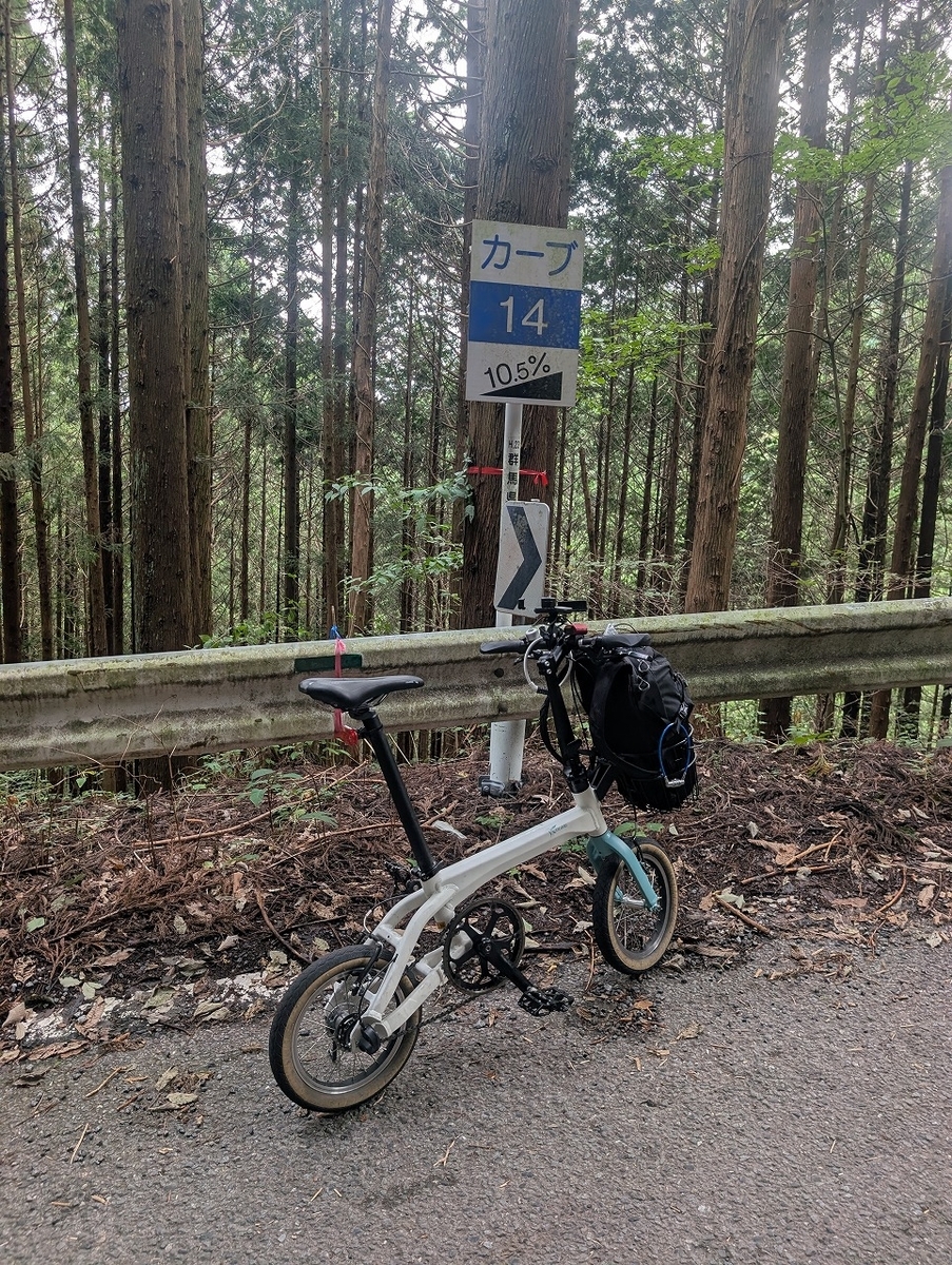
山形駅から国道13号線を少し南に下り、上山市に入ります。蔵王エコーライン方面に向かいます。マイルストーンがあるので、少しずつ進むのがわかってちょっとうれしいです。

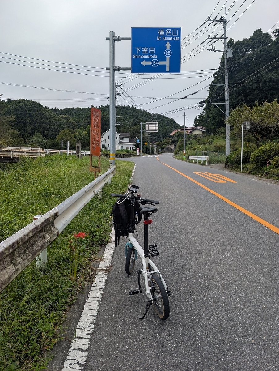
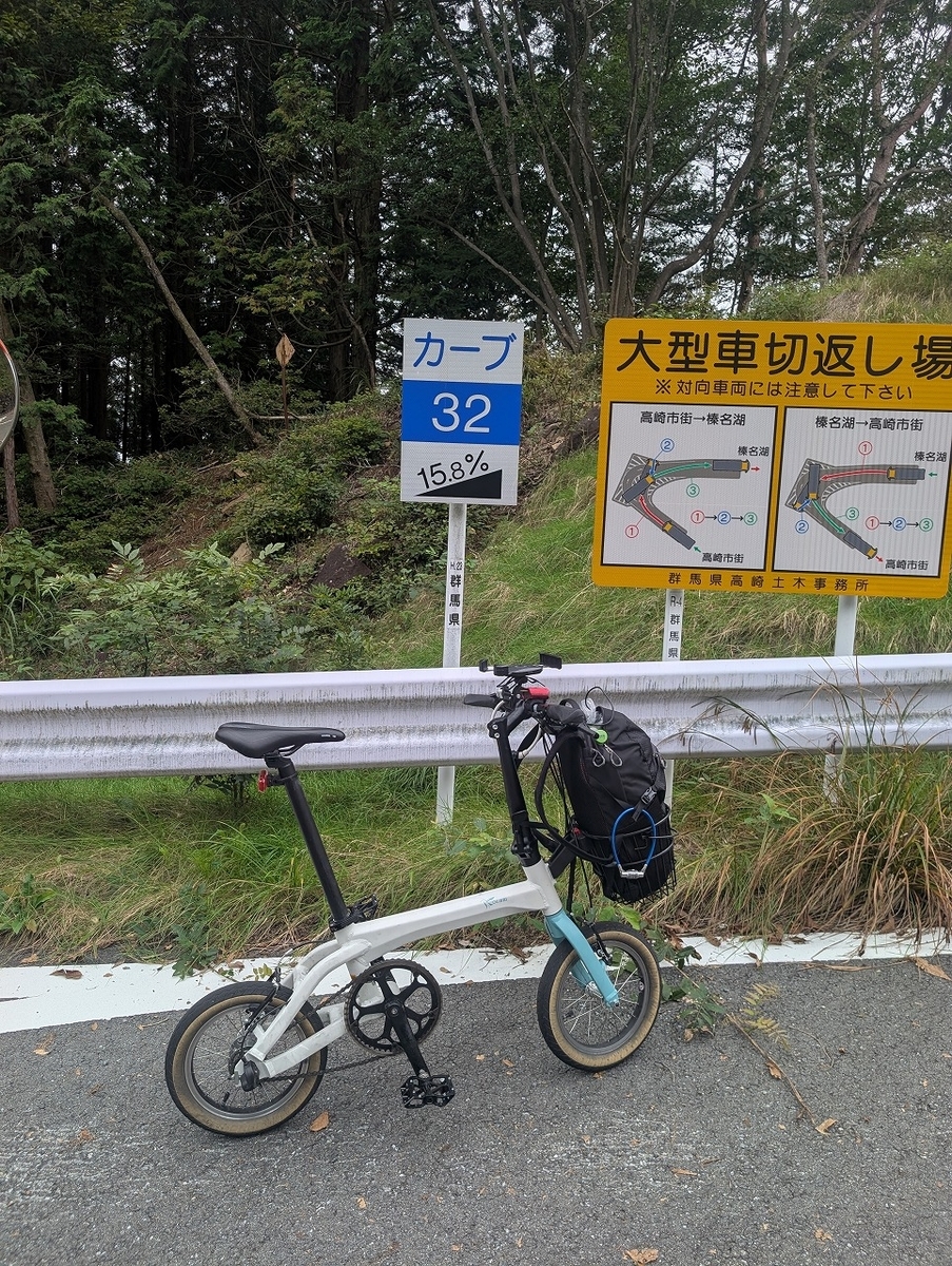
蔵王猿倉までは、民家も多く里山を走る感じでしたが、猿倉を越えると山道で、民家もなくなりますが、道はしっかりしているので、走りやすい環境です。特に、すごい傾斜の坂もなく、11㎏近い車体に、フロントバッグ3㎏、リュックサック4㎏を背負いながらでも、登っていけます。ただし、時速8㎞くらいしか出ておりません。坊平エリアに入ると、少し建物が見えてきたりして、高原リゾートの雰囲気を感じました。坊平エリアを越えると、リフト乗り場まで何もない山道ですが、木々の高さが低くなり景色がよくなってきます。宮城県に入り蔵王刈田リフト乗り場付近が最高点です。なお、蔵王ハイラインは自転車が通行できませんので、お釜に行く場合は、蔵刈田リフトに乗るか、リフト乗り場から徒歩で向かうしかありません。

The ride to Zao Sarukura felt like a journey through *satoyama* (traditional rural landscapes) dotted with houses; however, once past Sarukura, the route turned into a mountain road devoid of homes. Despite the remote setting, the road surface was well-maintained, making for a comfortable ride. There were no excessively steep sections, allowing me to make the ascent even with a bike weighing nearly 11 kg, a 3 kg front bag, and a 4 kg backpack—though my speed was limited to around 8 km/h. Upon entering the Bobodaira area, the appearance of a few buildings gave the surroundings the atmosphere of a highland resort. Beyond Bobodaira, the road continued through the mountains with nothing but nature around, yet the trees became shorter, offering better views. The route reached its highest point near the Zao Katta Lift station after crossing into Miyagi Prefecture. Please note that bicycles are prohibited on the Zao High Line; therefore, to visit the Okama Crater, you must either take the Zao Katta Lift or hike there from the lift station.

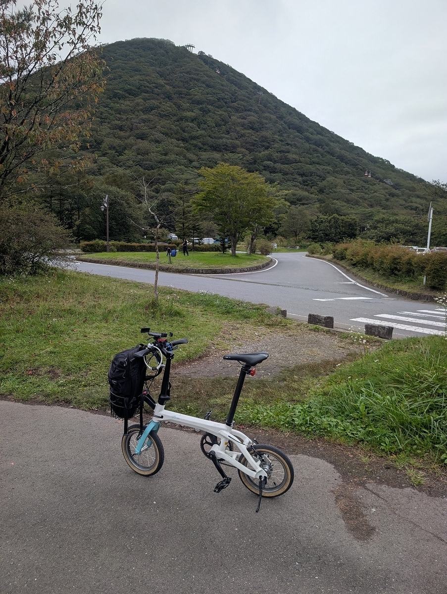
とりあえず、お釜にも行っておきました。早い人だと1時間ほどで登れるらしいですが、私は3時間近くかかりました。スペックはヤビツのほぼ2倍です。ちなみにヤビツは65分かかります。感想は、フロントバッグが重い!
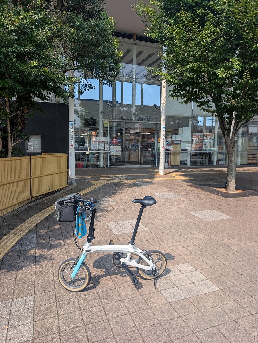
I also made sure to visit Okama while I was at it. Apparently, fast riders can make the climb in about an hour, but it took me nearly three hours. In terms of specs, it’s roughly double the difficulty of the Yabitsu Pass—and for reference, Yabitsu takes me 65 minutes. My main takeaway? My handlebar bag was heavy!
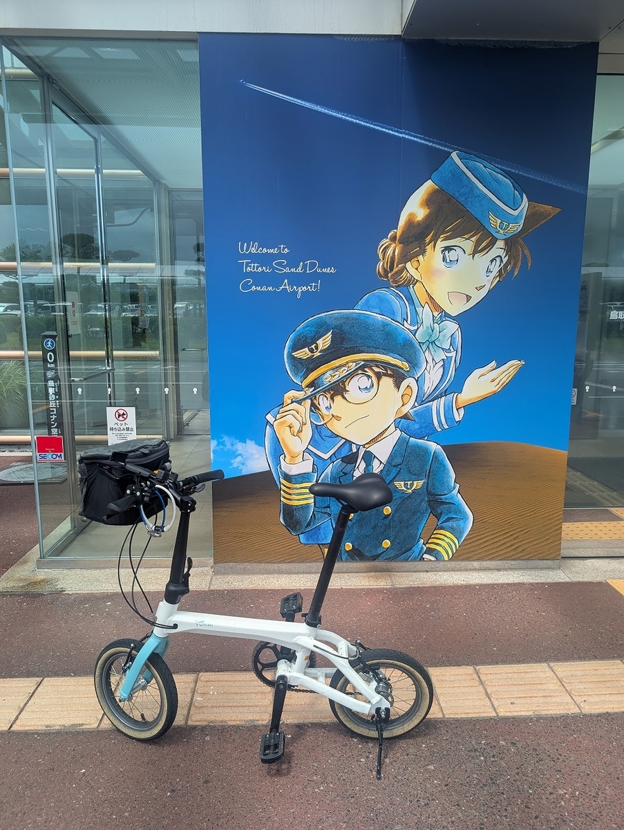
蔵王エコーラインを下り、仙台まで。国営みちのく杜の湖畔公園を通り過ぎ、国道286号線を走る感じですが、アップダウンが結構あり、若干後悔しました。

トータル95㎞で、獲得標高1979mとなりました。

I descended the Zao Echo Line and headed for Sendai. The route took me past the Michinoku Lakeside Park and along National Route 286; however, there were quite a few ups and downs, and I somewhat regretted the choice.

The total distance was 95 km, with an elevation gain of 1,979 meters.


インスタもよろしく Check out my Instagram, too.


DAHON ViscEvo 【サイクリング】新庄から山形 奥羽本線ライド DAHON Visc Evo [Cycling] Shinjo to Yamagata: Ou Main Line Ride

新庄駅から山形駅まで奥羽本線及び国道13号線沿いに南下するサイクリング。

最上川も同じようなルートを流れており、山形北部の中心都市を走ります。鉄道沿いなので、自転車のメカトラとかが発生しても安心なルートです。

A cycling trip heading south from Shinjo Station to Yamagata Station, following the route of the Ou Main Line and National Route 13.

The Mogami River follows a similar path, and the route takes you through the major cities of northern Yamagata. Since the path runs alongside the railway line, it offers peace of mind in case of any mechanical issues with your bicycle.

新庄駅を出発し、国道13号を南下。10㎞ほど進むと、舟形町に入ります。小国川を渡ったところに、見晴らしのいい公園があったので、一休み。

さらに南下すると、最上地方から村山地方に変わり、尾花沢市に入ります。天気と時間が許せば銀山温泉まで走りたかったのですが、時間も厳しく天気もいまいちだったので道の駅と、徳良湖だけ寄り、尾花沢市を抜けました。ちなみに、スイカが名産です。

I departed from Shinjo Station and headed south along National Route 13. After traveling about 10 kilometers, I entered Funagata Town. I took a short break at a park with a great view just after crossing the Oguni River.

Continuing south, I moved from the Mogami region into the Murayama region and entered Obanazawa City. I had hoped to ride all the way to Ginzan Onsen if the weather and time permitted, but with a tight schedule and lackluster weather, I simply stopped at a roadside station and Lake Tokura before passing through the city. Incidentally, Obanazawa is famous for its watermelons.

大石田町に入り、最上川千本だんごが気になったので、寄ってみました。ものすごい行列でしたが、持ち帰りなので回転も速く15分程度の待ち時間で買うことができました。種類が豊富で、もはやケーキではないかというラインナップでした。ここからは国道347号線に入り、最上川美術館に向かいました。

After entering Oishida Town, I decided to stop by "Mogamigawa Senbon Dango" because it had caught my eye. Although there was a huge line, the turnover was fast since most people were getting takeout, so I was able to make my purchase after waiting only about 15 minutes. They offered a wide variety of flavors—a lineup so impressive it felt more like a selection of cakes. From there, I took National Route 347 and headed toward the Mogamigawa Art Museum.

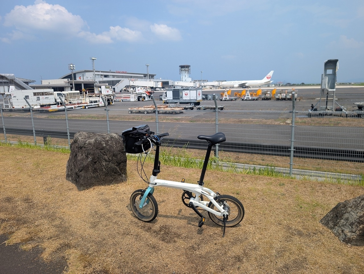
道の駅むらやまに寄った後、東沢バラ公園に寄りました。バラの開花時期には少し早かったですが、おかげで無料で入れました。その後、山形空港に立ち寄り、天童市を抜けて山形駅に到着です。天童市は観光都市ではありますが、時間が押していたので、ほぼ素通りになってしまいました。全行程90㎞でした。

After stopping at Roadside Station Murayama, I visited Higashizawa Rose Park. It was a bit too early for the roses to be in bloom, but that meant I could enter for free. Afterward, I stopped by Yamagata Airport, passed through Tendo City, and arrived at Yamagata Station. Although Tendo is a tourist destination, I was running behind schedule, so I ended up just passing through. The entire trip covered a distance of 90 km.

インスタもよろしくお願いします。Please check out my Instagram as well.